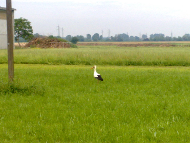
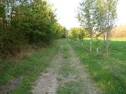
The natural area "Fontanile di Ariolo", located to the south / east of the small village of Gavasseto, 7 km from the city center, creates a homogeneous drainage cable covering an area of about 3 hectares. It has an area of 538 meters and is 62.3 m. It is a continuous fountain, fed by groundwater that rises to the surface due to hydrogeological phenomena (revival) continuously throughout the year. Despite the regional context in which it is found, dominated by a combination of intensive agriculture, industrial fabric and the outer ocean, Of natural. The Arriolo natural fountain area is part of the last strips of land that consisted of the old wetlands, which were abundant in the Po valley, but with the reclamation work between the end of the nineteenth century and the first half of the twentieth century. Led to the drying and routing of swamps, valleys, marshes and peat swamps. Due to the natural phenomenon of emergence, man from the Middle Ages has continuously deteriorated these environments by exploiting the spring water for its productive activities, above all to irrigate the cultivated fields, excavate the emission point and go to compensate for the fountain head. This is then connected by a flow channel and a flow called rod. The characteristics of the fountains are that, thanks to the long underground path through which the groundwater passes, these properties are often very clear and clear. Despite the observed thermal changes recorded in the plains during the seasons, the spring water is always kept at a constant temperature About 12-13 degrees. This usually means that there is a bizarre biological diversity around the fountain. The head of the Ariolo circular fountain is about 6 meters in diameter; the first part of the column limits a strip of trees and shrubs that are hidden from view for about 200 meters. After that, the auction was buried for a long time, including which crosses the town of Javasito, then flow back to the surface until it merged with the Rhone River. This area, which until recently was exploited for intensive wheat farming, was incorporated in 2001 into the environmental network of the province of Reggio Emilia and became, in 2006, with its surroundings, the site of the importance of the community (SIC) "Rio Rodano e Fontanili di Fogliano and Ariolo "(IT4030021), under the guidance of Habitat (92/409 / EEC). This allowed the acquisition of the Reggio Emilia Municipal Department of the cultivated land surrounding the fountain, which formed a continuity point between crops and vegetation on the banks of the river.
x
T
R
F
I
H
I
We have 16614 Parks Now ... The First and largest platform for green public parks
Area Naturalistica Fontanile dell'Ariolo
Area Naturalistica Fontanile dell'Ariolo
42122 Reggio nell'Emilia RE Italy
About Park
-
Preview
Green space in Reggio EmiliaImportant Information
-
Park Area
30000.00 SQM
-
Intertainment Elements
Sports
Sitting places
Entertainment
-
Main Elements
- Cleanliness
- Green areas
- Open spaces
- Open paths for walking
- Wildlife interest


